
Trail Verification Project and Master Plan for the Enchanted Circle
Trails Master Planning projects are underway in Taos and Colfax Counties. A group of organizations and citizens have come together to help map the area’s current trails and begin a planning and prioritization process that will help ensure a well developed and logical trail connection master plan making the Enchanted circle and its many areas of interest navigable by bike or as a walking trek.
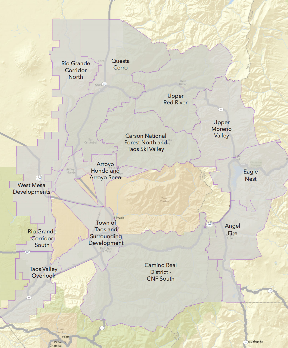 Trails in the area currently include many forest service and BLM gems which are well developed, but they lack a central connecting route which is not part of our county and state highway system which has notoriously narrow shoulders and inconsistent surfaces. The local trails also lack logical and documented connecting routes from trail areas through towns, or a general town-centered trail access.
The trail plan itself is heavily influenced by local trail communities, and there is still time to get involved and lend a hand with the project, with trail verification, route proposals, and to volunteer efforts for trail building and maintenance.
Taos Sports Alliance believes in the value of a well defined and publicized Trails System and direction and prioritization plan for long term trail development for our region, as a tool providing more contiguous access which can improve local quality of life, and for regional sports and recreation based economic development.
To lend a hand contact our local nonprofit land conservation office – Taos Land Trust.
Trails Information
Overview Carson National Forest Recreation Areas
US Forest Service Carson National Forest Mountain Biking Trails
US Forest Service Carson National Forest Backpacking Trails
US Forest Service Carson National Forest Day Hike Trails
